
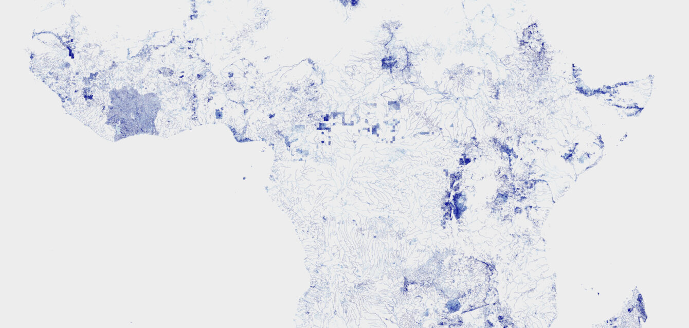
Discover how KAMAHU created continent-scale waterway maps from OpenStreetMap data using Osmium, GeoJSON sequences, Python and Datashader—even on a computer with limited memory.

All the best from the KAMAHU Team !
The KAMAHU team wishes the aquaculture community a successful 2026. Following 82 service releases in 2025, we look forward to delivering more major features while keeping our pricing unchanged for the ninth consecutive year.

KAMAHU and ESA BIC: Satellite Imagery for Aquaculture
KAMAHU’s incubation at ESA BIC Nord France supported the integration of satellite imagery into its aquaculture management platform. The project explored AI for fish-farm detection, large-area monitoring and new ways to anticipate environmental risks.